


Remember - Click on the pictures to make them full size. Some of them look much better that way! Especially the panoramics!
DAY 1 - Drive to Co. Springs
- Driving across Kansas. (After driving through the true desert, I really appreciate driving through Kansas now!)
This photo was taken at a rest area on I-70.
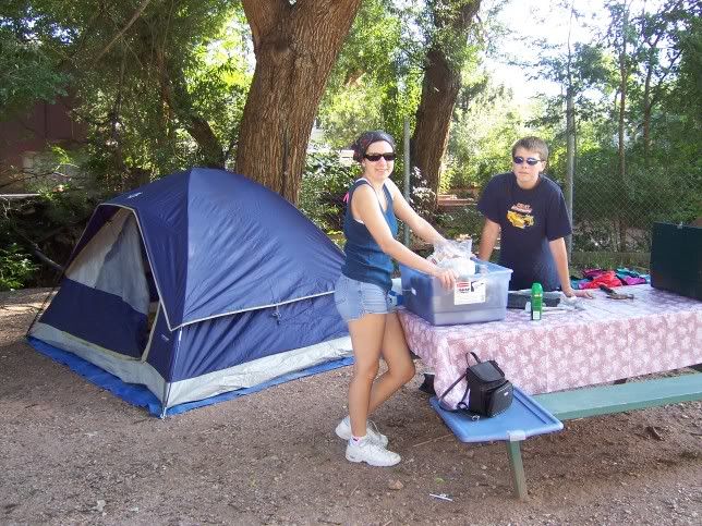
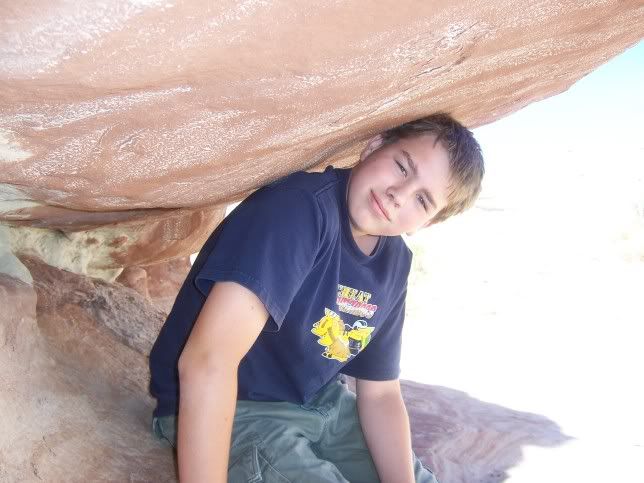
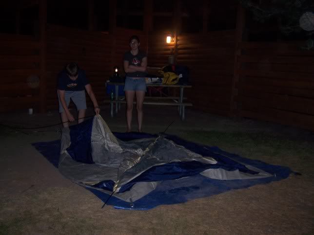
- This is a photo of our first night's campsite. We had to leave the next day. I did not sleep a wink due to a stabbing or shooting that happened just a few blocks away. But, we didn't know that when we set up our tent.
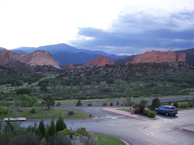
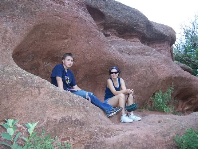
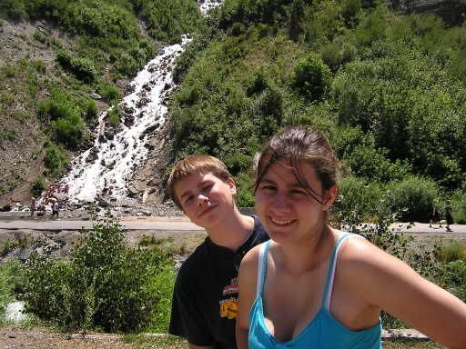
- That night we ventured to Garden of the Gods.
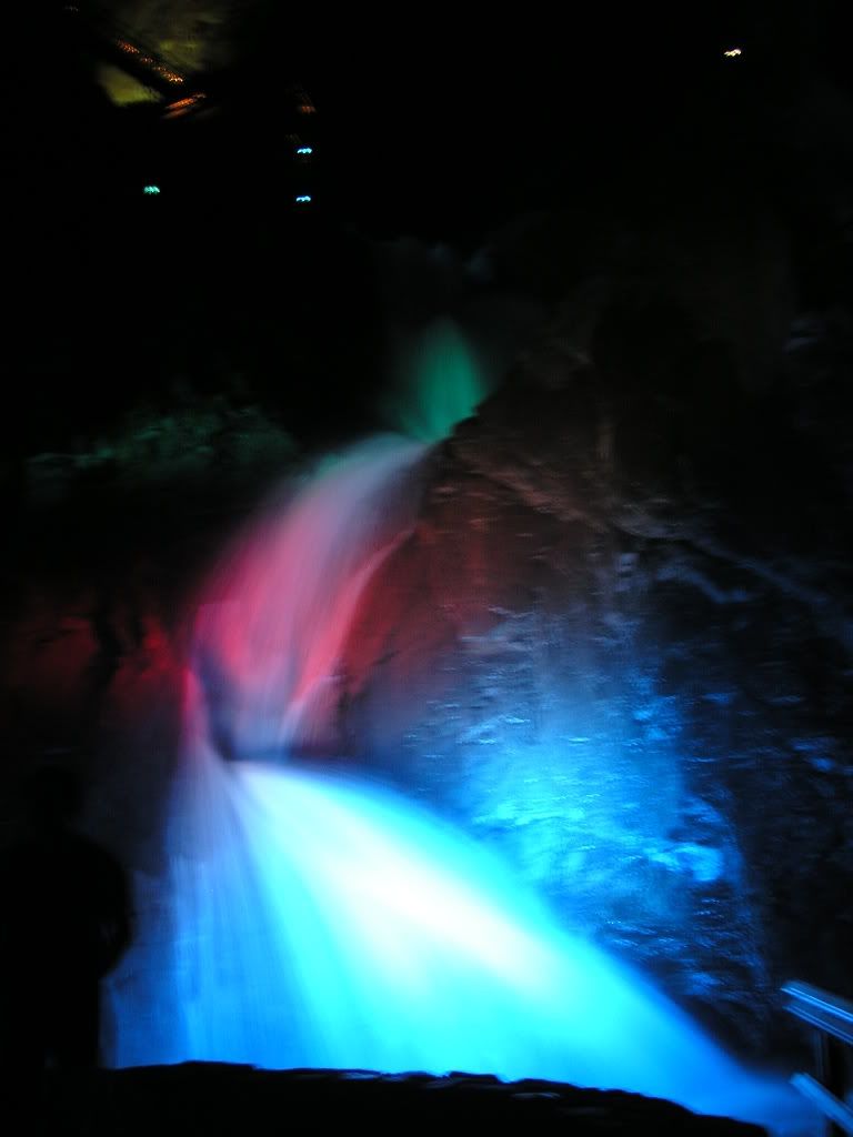
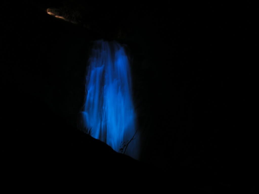
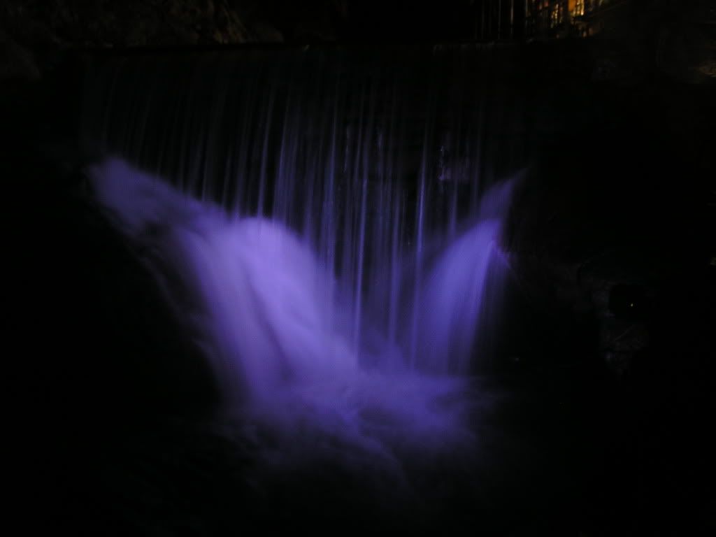
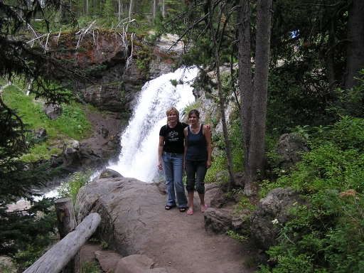
- We also ventured in the dark to Seven Falls with it's colored light display at night.

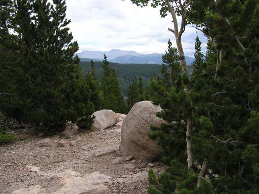
DAY 2 - Still in Colorado Springs - Pikes Peak and new campground!
- Here are some pictures from Pikes Peak
On the Cog Railway
View of the Peak from the Rail Train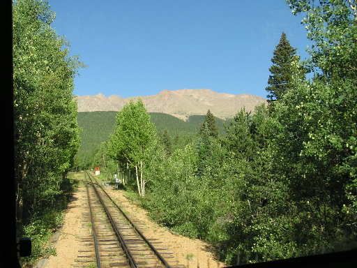
A herd of Elk running across the peak. Poor quality, too much zoom.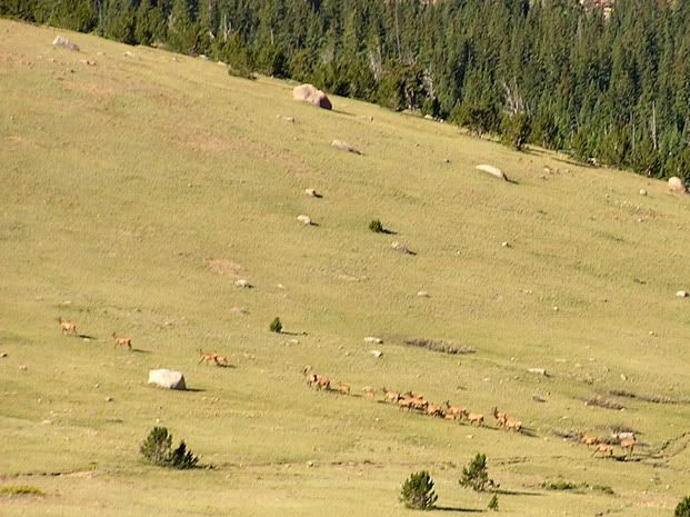
BIG HORN SHEEP! Very exciting! Lots of zoom, not the best picture.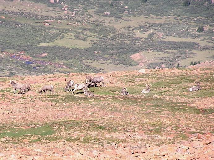
At the top!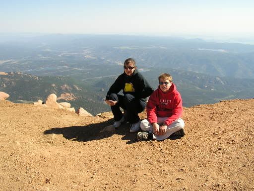
I MADE IT! (love that train!)
At the photo - op sign.
Panoramic view looking west
Panoramic view looking north east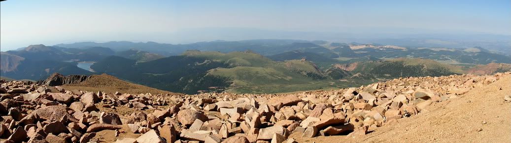
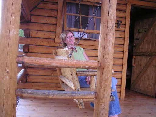
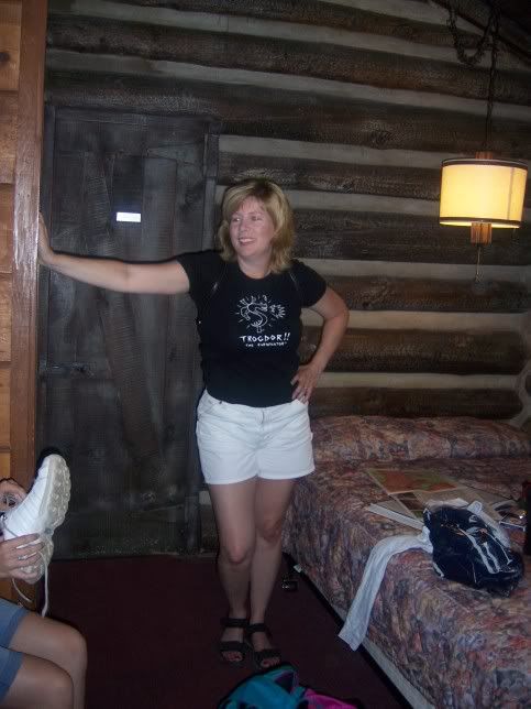
- Our campground for this night was in a better area! (TRUST THE KOA NAME!)

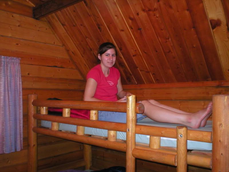
- Jordan playing solitaire and Steven writing a postcard.

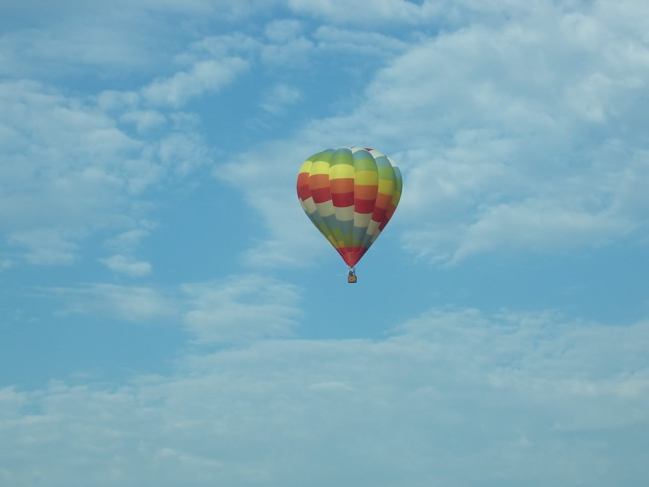
DAY 3 - DRIVING / MESA VERDE NATIONAL PARK
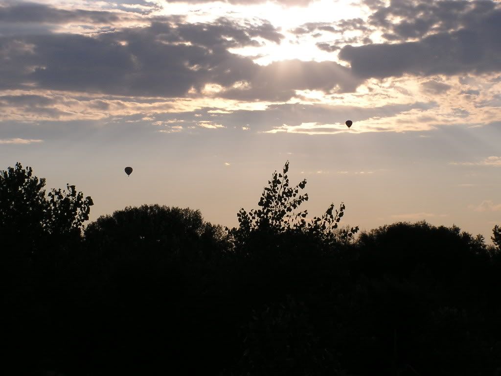
- As we packed up and drove away from Co. Springs we saw the balloons we had seen on postcards. Apparently Co. Springs is a big ballooning area.
- We drove south on I-25 and turned west on US Hwy 160. We drove through a lot of desert, but also a pass called Wolf Creek Pass. We crossed the Continental Divide for the first of many times, but were in a tunnel at the crossing!
Traffic Jam as we wait for the right to travel the One-Lane road.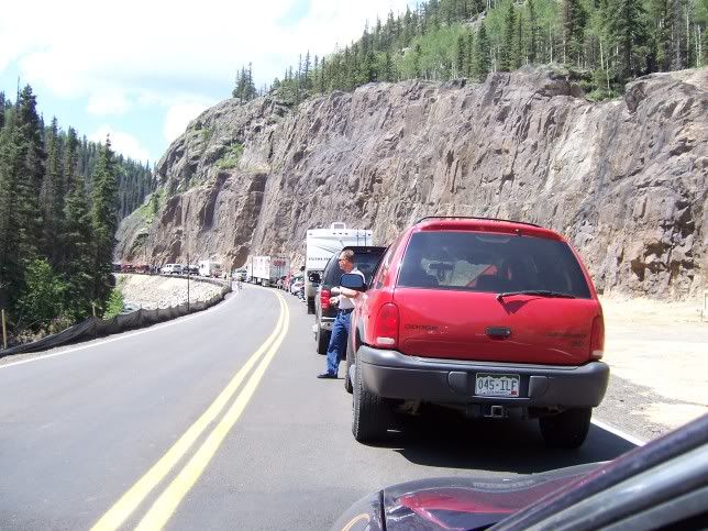
View of the valley from Wolf Creek Pass. Looking at Pagosa Springs CO.
Wolf Creek Pass Views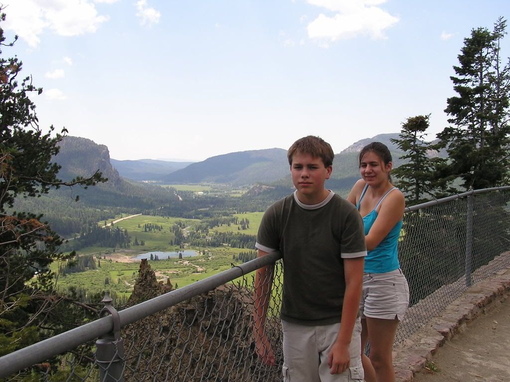
Wolf Creek Pass Views with a map of the valley
- Mesa Verde Pictures:
The view from the entrance station to the park.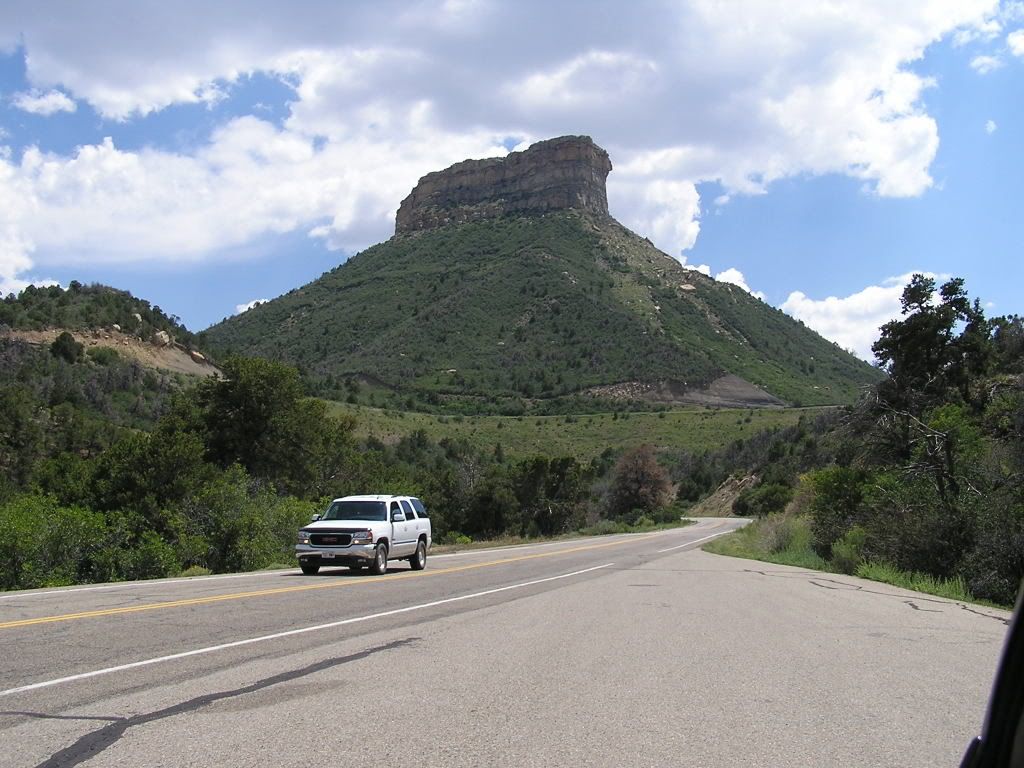
Spruce Tree House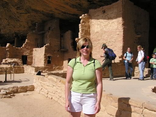
Cliff Palace - looking down at the tour group ahead of us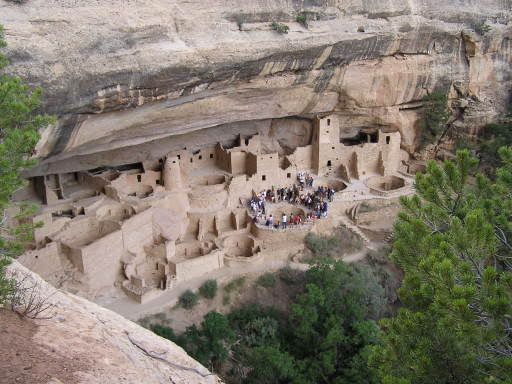
On the Cliff Palace Tour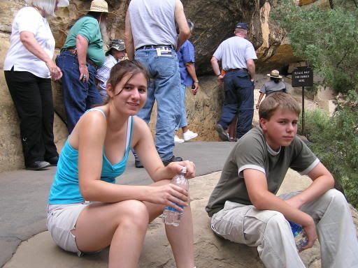
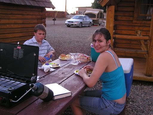
- Our campground in Cortez Colorado. We were so tired from walking around Mesa Verde we spent $15 to upgrade to a cabin.

Panoramic View from our campground, looking back east. All of those hills are part of Mesa Verde.
DAY 4 - DESERT DRIVING
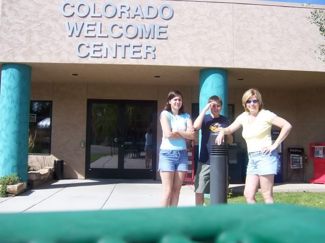
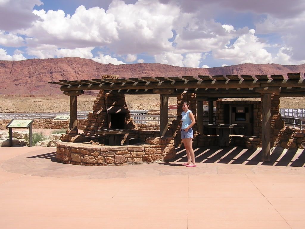
- Cortez Colorado Visitor Center.
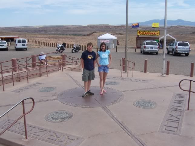
- Four Corners Natl Monument

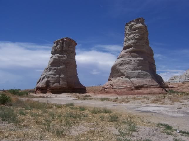
- Desert driving, crazy rocks, the Elephant Feet formation, right off the highway


WE ARE HERE!!!! (I think)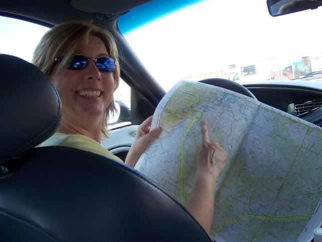
- Continuing the drive we crossed the Colorado River at Marble Canyon, via the Navajo Bridge. IT WAS HOT HOT HOT


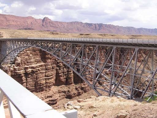
Panoramic view of the Colorado River and the Vermillion Cliffs on the left - from the middle of the historic bridge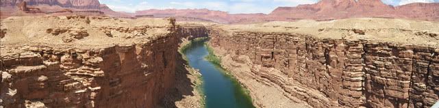
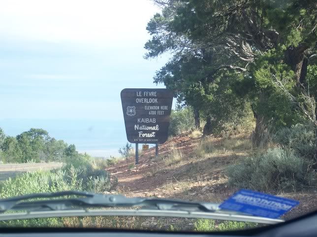
- ESCAPE FROM THE DESERT - We arrived at the Kaibab Plateau. At 8800 feet elevation it was a lovely forested area with gorgeous meadows here and there. This was also near where the "Warm Fire" had burned around 50,000 acres. We didn't see that until day 5 however.
Here are some pictures from the campground we stayed at, "Kaibab Camper Village".
Steve twirling the tent pole.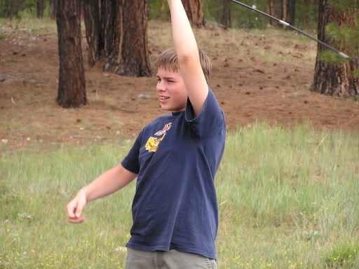
A visitor (chipmunk)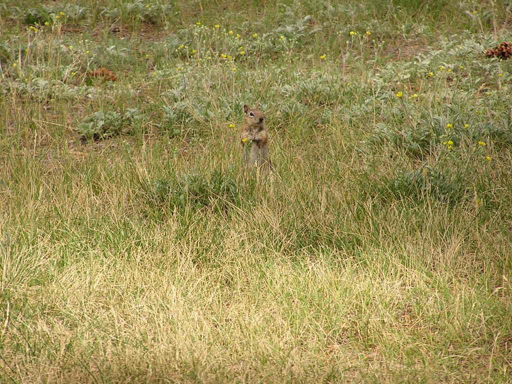
This was the view from our tent. A beautiful horse meadow with a pond. "Jacobs Lake".
There was thunder and plenty of lightening to the east of us. We just got a few sprinkles overnight.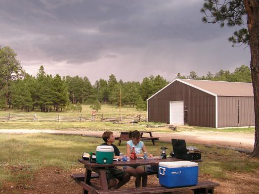
This is the house by the horse pasture.
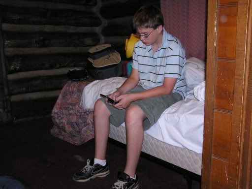
Inside the tent. We played some cards, watched a movie.
Steven chopping wood.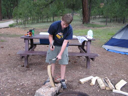
Catching up on current events.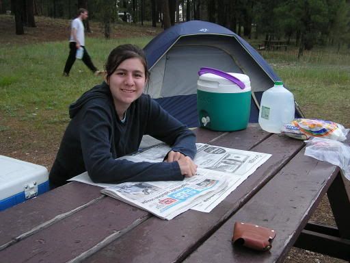
Ahh. Fire feels good! It was a little chilly at 8800 feet!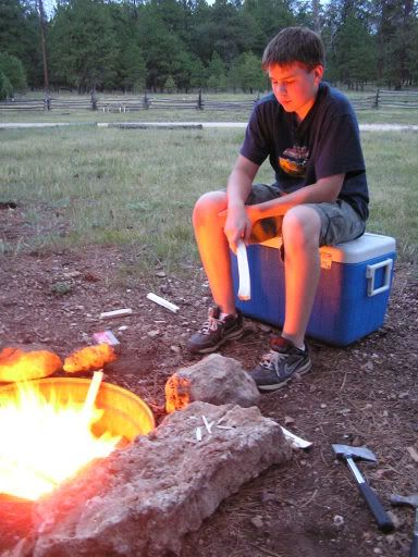
DAY 5 - GRAND CANYON
- First thing in the morning we broke camp and headed the short 45 mile drive down Hwy 67 to the North Rim of the Grand Canyon. We had reserved a cabin for the night, but were so lucky there was a cabin available when we arrived at 7:30 am, even though check in wasn't until 4pm.
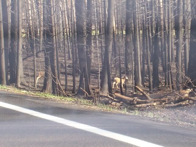
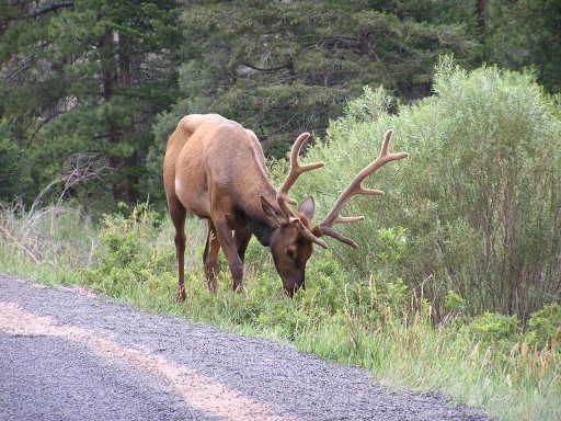
Pictures frome the drive. A little of the burned area, and some wildlife.
Can you see the mule deer running into the trees?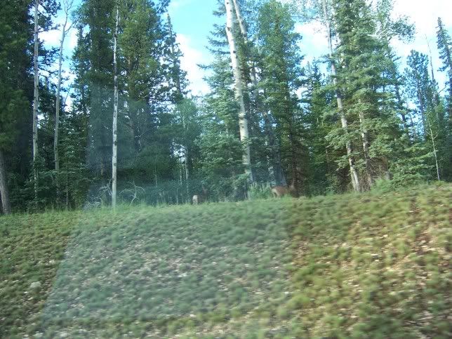
We stopped at a little gas station on the way to the North Rim. Steve saw this little guy in a trap. I guess the store has been torn up by these little chipmunks. They trap them, then release them about a mile or two away.
Just waiting for them to open the store. We were up VERY early this day!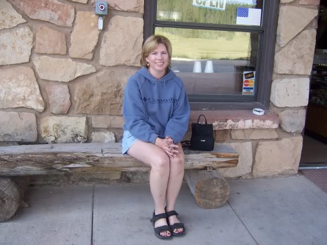
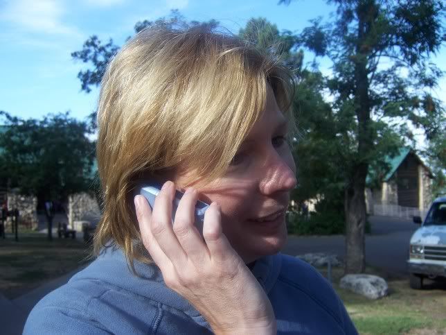
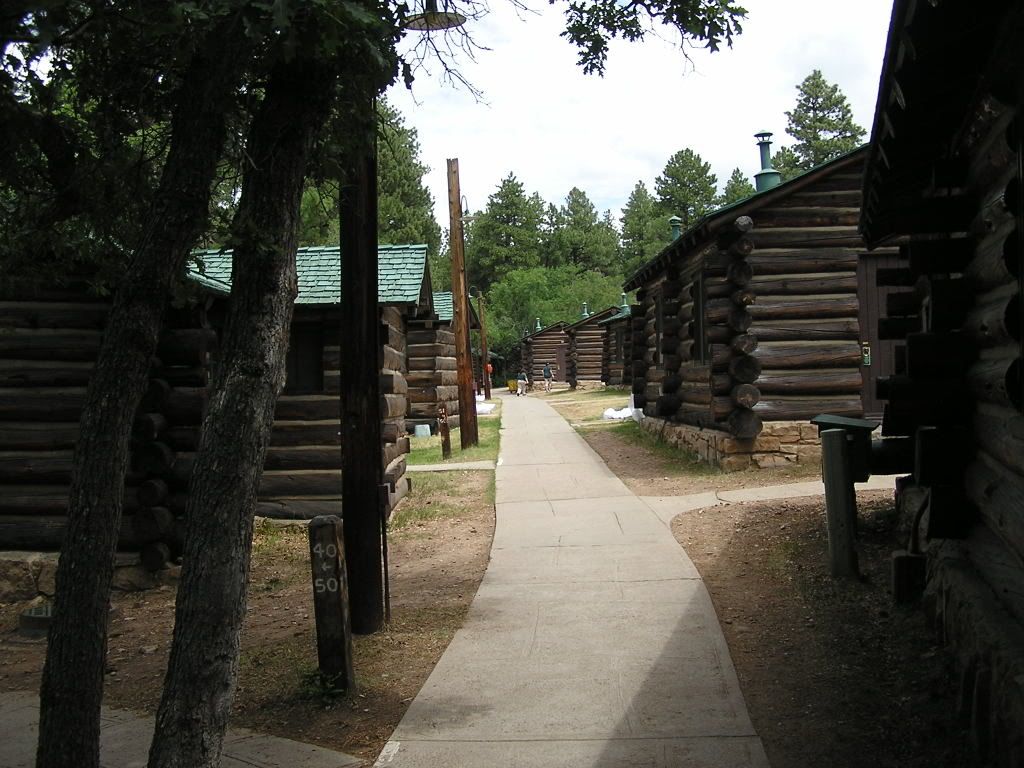
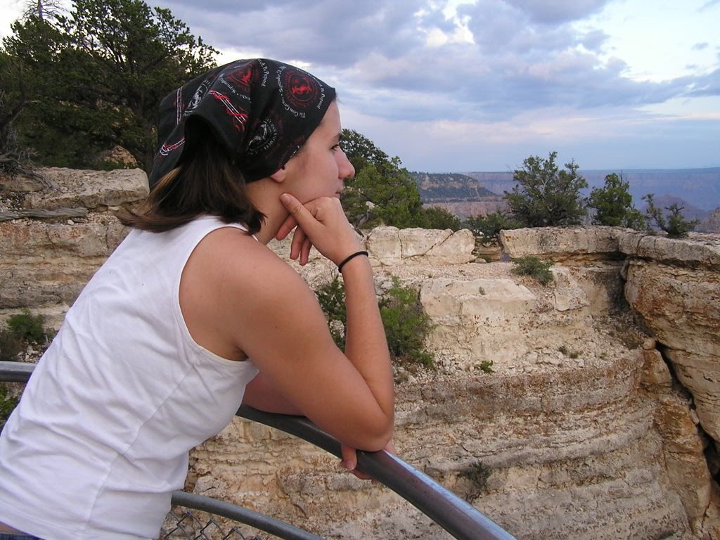
- After we got checked in, we gals took a shower first and then while Steve stayed in the cabin we walked down to the lodge for our first view of the Grand Canyon.
We were able to get a cell phone signal at the very edge of the North Rim, but not in our cabin.
Here are some pictures of the lodge and cabins
Here is our first view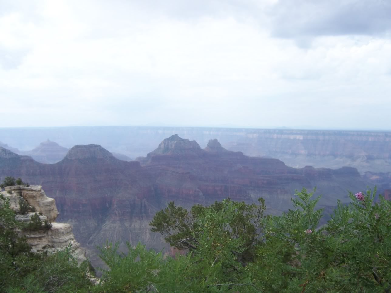
- Later on that morning we hiked the trail to Bright Angel point. Lovely scenery.
The back of the Grand Canyon Lodge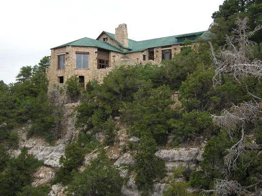
On the trail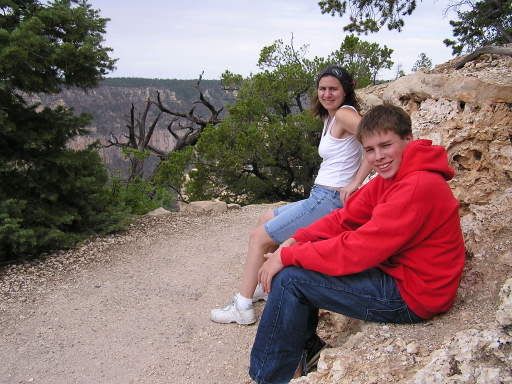
Steven - fearless leader!
Me? At the Grand Canyon? No way!
Almost to Bright Angel Point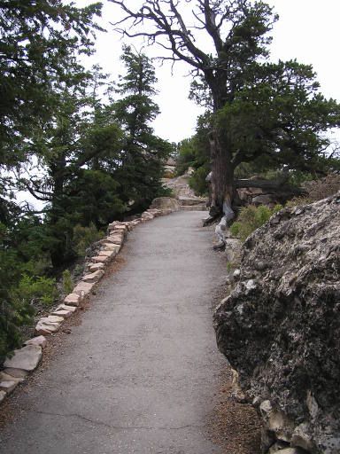
Indian Paintbrush with Grand Canyon as a backdrop.
Panoramic morning view
- In the afternoon we attended a couple of ranger programs. One on the California Condor, one on "Why is the Grand Canyon here and no place else?". They were very interesting. We went back to get some pictures of the canyon as the sun was setting.

Evening panoramic view.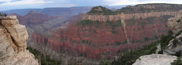
DAY 6 - LEAVING KAIBAB, ZION NATIONAL PARK
- The night brought some loud thunderstorms but we were pretty comfy in our cabin. Steve wasn't seen much without his Game Boy.
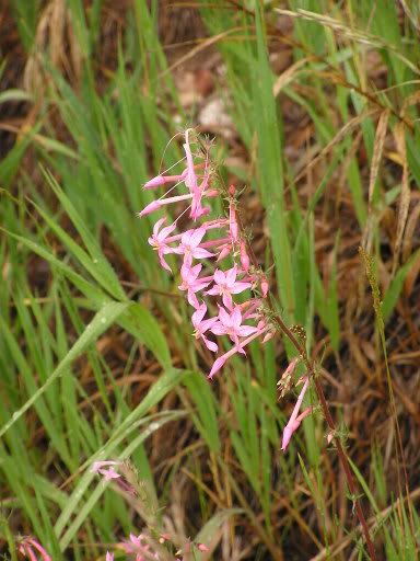
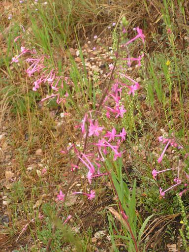
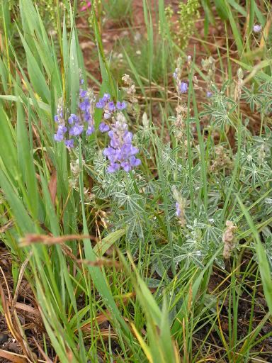
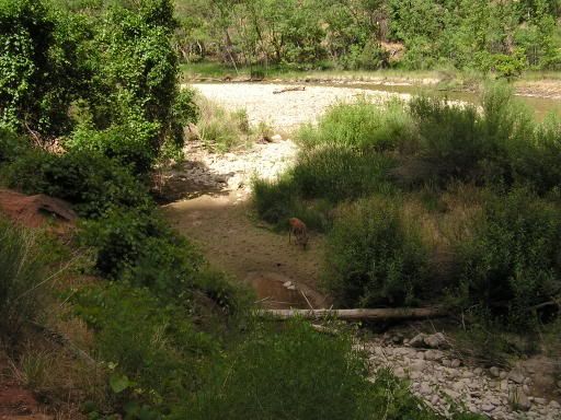
- The drive off the plateau was very fun. I stopped and took a lot of pictures of flowers and such. We also saw more mule deer in a burned part of the forest. I was wondering why they were there in that spot, but they must have been on their way to an un-burned part.

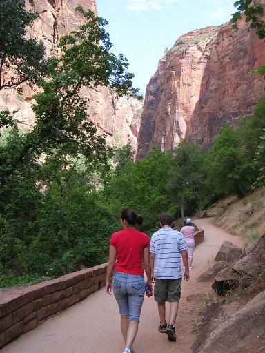
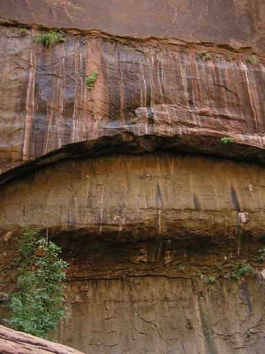
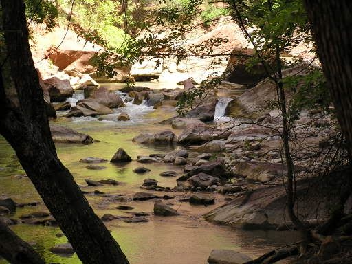
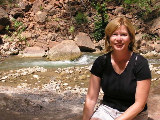
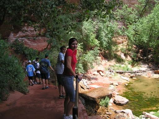
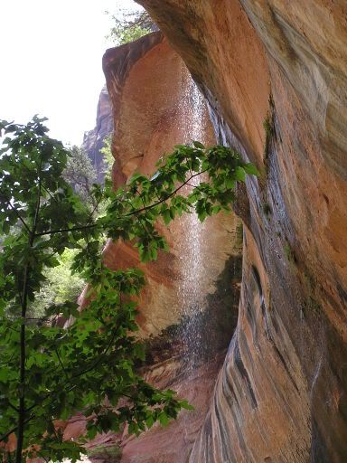
- We arrived in Utah, after some steep drops in elevation, down to about 5000. We arrived at Zion Natl Park and spent from about 10am to 2pm walking two different hiking trails. It was so hot and dry, but inside this little canyon (the Virgin River flows through) the walls seeped water and you would see little ferns and plants growing right out of the rock.
The first trail was the Riverside Walk. Here are some pictures.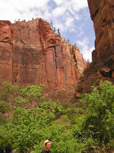


The second was the Emerald Pool trail. Can you see the water coming over the edge of the cliff? The trail went right under/behind the water. It felt like being misted it was soooo nice on this hot day! I understand that in the spring it becomes quite a torrent.
- After our hiking we were able to get a cell signal and called John from the Visitor Center. Unfortunately we were so hot we just forgot to go IN the visitor center. Boy do I feel dumb!
- We continued driving north on I-15 and finally arrived at Fillmore Utah KOA. With thunderstorms threatening we upgraded to a cabin again!
Panoramic view looking east from the Fillmore KOA
DAY 7 - PROVO / SALT LAKE CITY UTAH
- Our original plan was to stay in Provo UT overnight, but since we were planning to pick up John at the Salt Lake City airport the next day, we just booked a room at a hotel by the airport. We did drive through Provo, stopped at the library and visitor center.
We then proceeded to Bridal Veil Falls in Provo Canyon. It was very, very pretty. People were splashing around at the bottom of it in their swimsuits. It looked like a lot of fun. Great place to have a picnic on a hot day!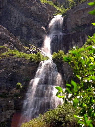

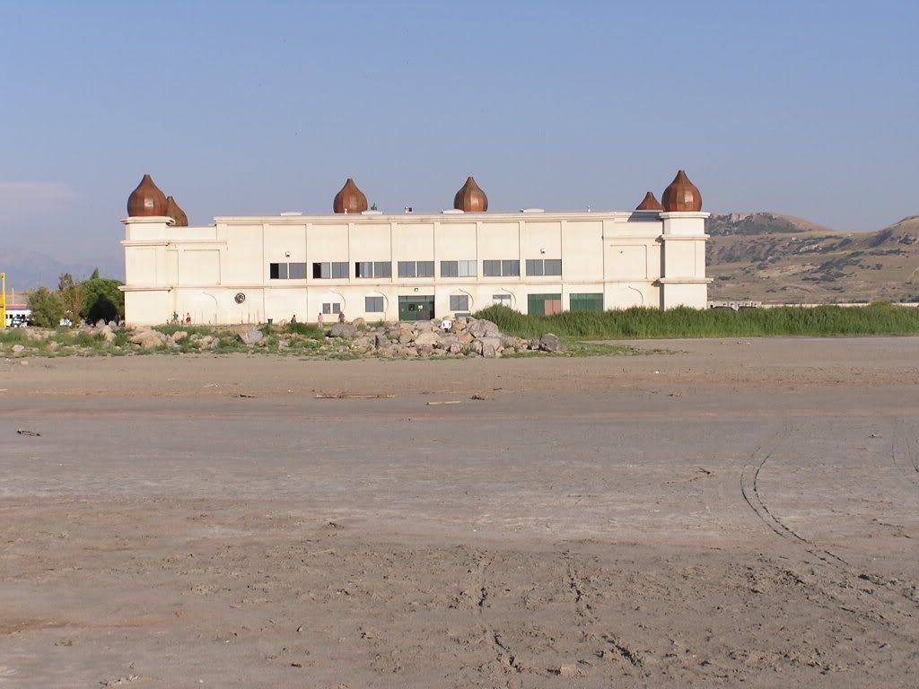
- After we got checked into our hotel and relaxed for awhile, we made the short 10 mile drive over to the Great Salt Lake. Here are some pictures of the "Great Salt Lake State Marina". Kind of a run down place. The flies and birds were quite entertaining. The smell was disgusting. Yuck.
Can you see the flies? They were just sitting on this log, and when we got close they swarmed! We didn't even realize they were there until then.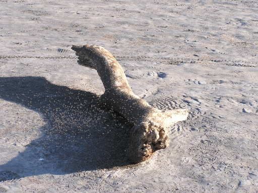
Gull chasing the swarm we stirred up.
Gull.
Run down tourist spot. Very very bumpy parking lot.
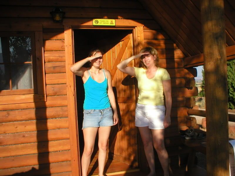
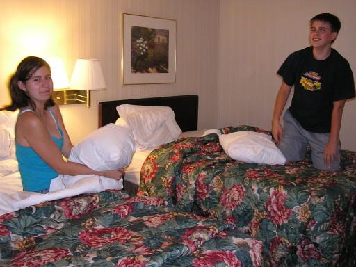
- Pillow fight???? Us???????
DAY 8 - SALT LAKE CITY and DRIVING THROUGH IDAHO
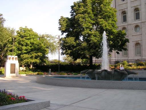
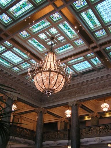
- Started the day with a trip to downtown Salt Lake City. Not a lot going on. We saw a Borders and were all excited, but the sign on the door said "We are closing. Our last day at this location will be July 21st". It was July 22nd. Oh well. Here are some pictures of the Mormon Temple, and a very fancy historic hotel interior that we happened to walk through.
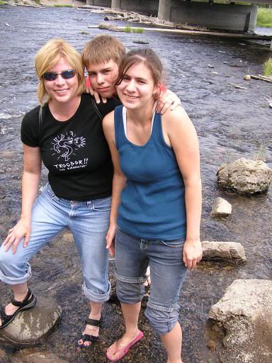
- After John arrived at around 4pm (about 3 hours late) we knew we had a long drive ahead of us. We drove north on I-15 and then broke off towards West Yellowstone on Highway 20. We finally got to our KOA campground at around 9:30pm.
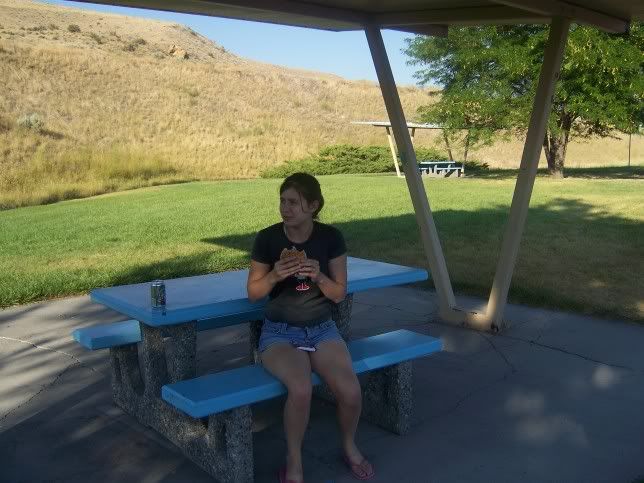
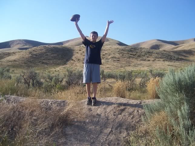
A rest area stop in Idaho. Time for a little football throwing. Steve and I hiked up a little trail to the top of a hill.


Setting up the tent in West Yellowstone Montana at about 9:30 pm.
DAY 9 - YELLOWSTONE
- We took soooo many pictures at Yellowstone. I will post a few. On our drive into the park, towards the geyser area, there was a bison just rambling down the road!

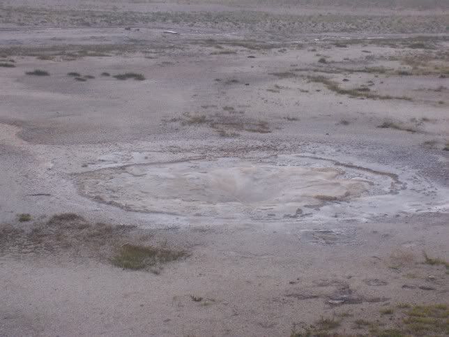
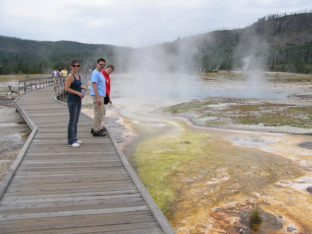
- Our first hike was through the Lower Geyser Basin.

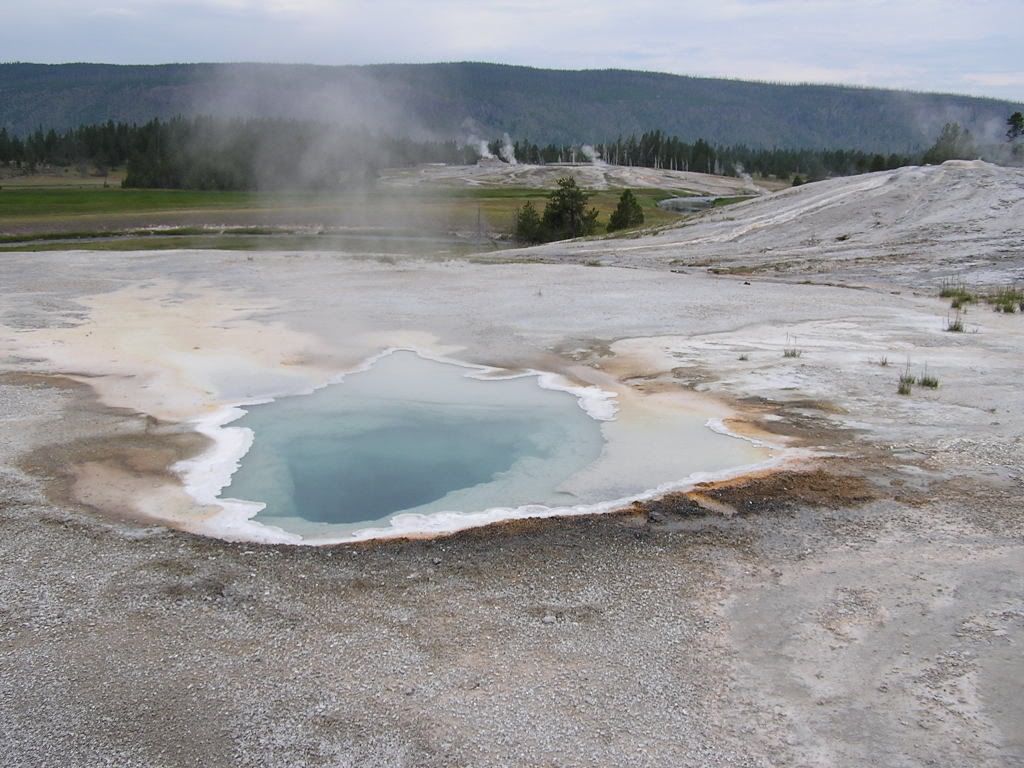
- Next we hiked around Old Faithful.

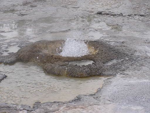
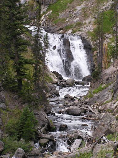
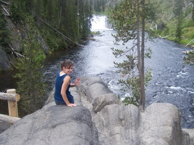
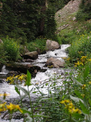
- Last we hiked around Biscuit Basin and hiked up to Mystic Falls.

Steven waving from the overlook at Mystic Falls.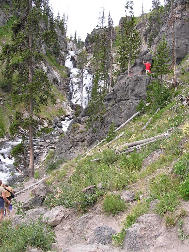
Sapphire Spring, just beautiful. About 20 feet across.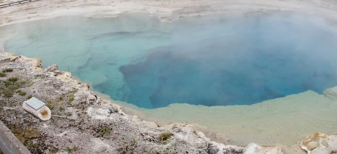
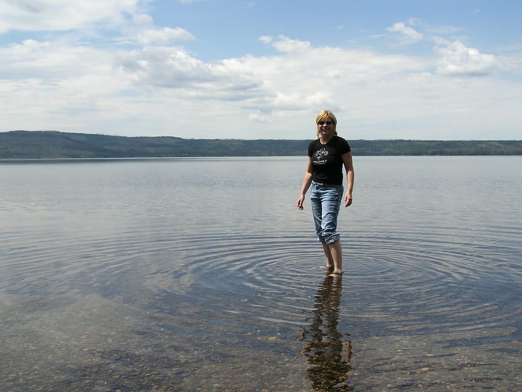
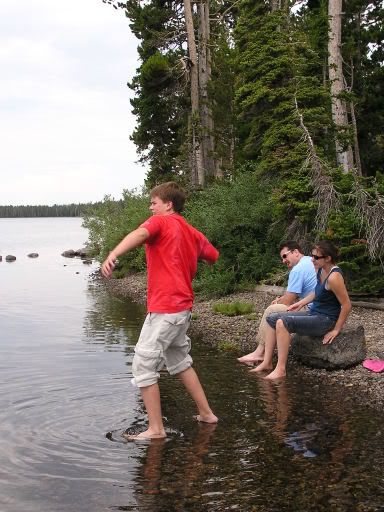
- Before leaving Yellowstone we stopped at Lewis Lake, on the south side of Yellowstone.
Our contribution to the landscape.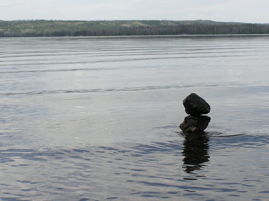
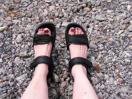
- Can I tell you about my Clark's? I LOVE THESE SANDALS. Got them on the clearance rack at DSW and I have done so much hiking in them on this trip. My feet felt GREAT. I did get a blister in one spot, but the shoes were so comfy. Highly recommend Clark's!
- Lewis Falls,


- and Moose Falls.
See those people swimming down there????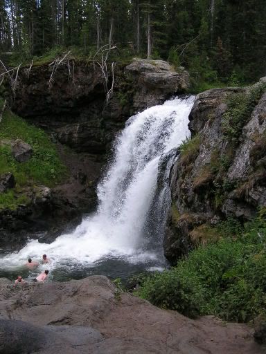

- Here is a picture of Jackson Lake north of Jackson Wyoming, with the Tetons in the background. Very gorgeous scenery.
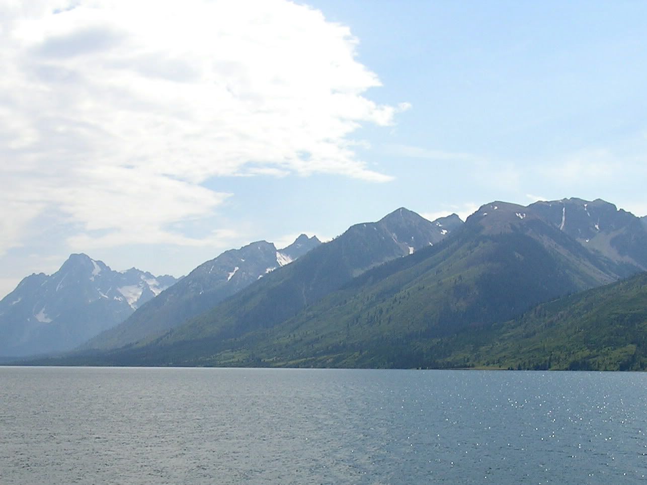
The Teton Range.
- Campsite at the Jackson-Teton KOA

DAY 10 DRIVING THROUGH WYOMING
- Long, long drive through a big bunch of nothing. But we did see a wind farm which I thought was cool.


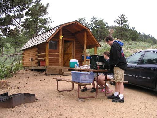
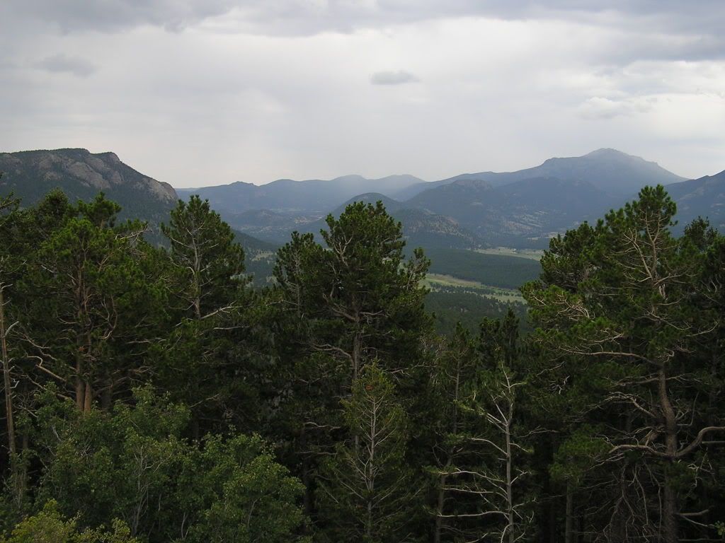
- We got a cabin at the Estes Park KOA in Colorado.
DAY 11 ESTES PARK, ROCKY MTN NATL PARK
- On the drive to the park:

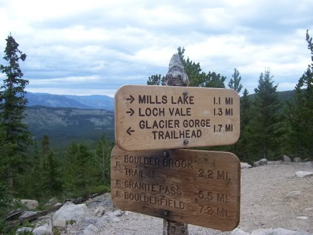
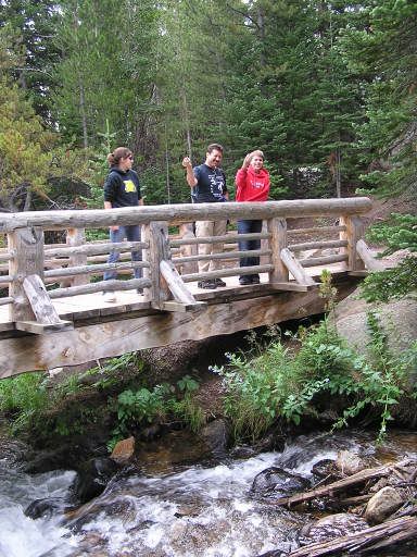
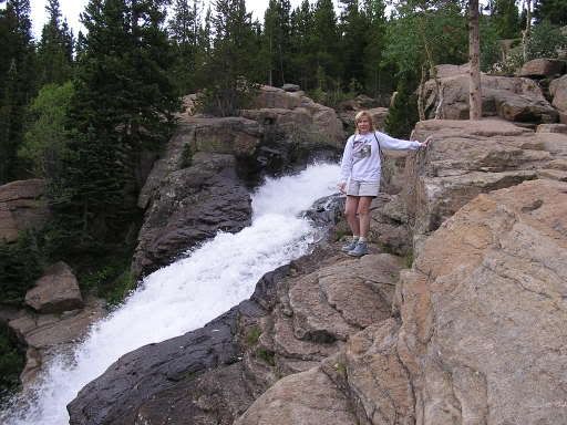
- Thought we would get our hiking done in the morning to beat the afternoon showers. We hiked 6.2 miles round trip in Glacier Gorge to the Loch. We thought about hiking to Andrews Glacier, but after reaching the lake decided that was far enough!

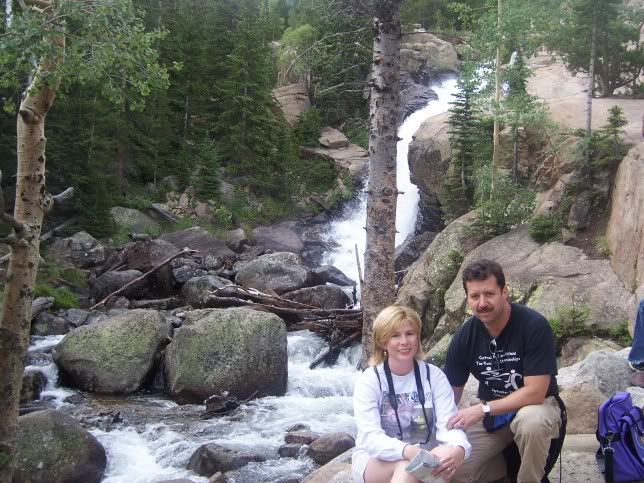


Panoramic view of the Loch.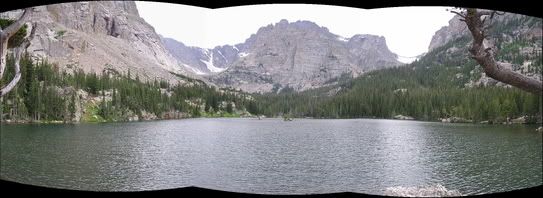
- I drove the family up the old Fall River Road to the Alpine Visitor Center. I didn't stop to take pictures much along the way, except at Chasm Falls. Everybody else was kind of freaked out. The road was a twisty windy mountain road from about 6500 feet all the way to 12,000 feet in about 9 miles. I loved the drive. It was gorgeous, but I think if I ever do it again it will have to be by myself!
This panoramic view is from the very end, the last mile of the old Fall River Road.
Here is Chasm Falls. My dad broke his ankle on this path in 1983. (That was the last time I had been at the park).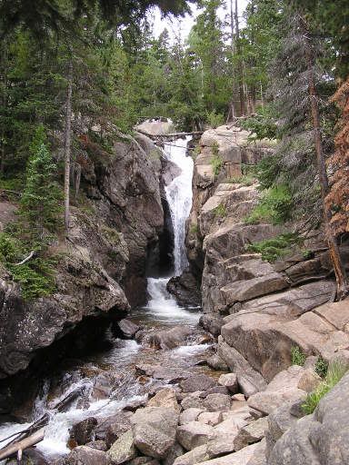
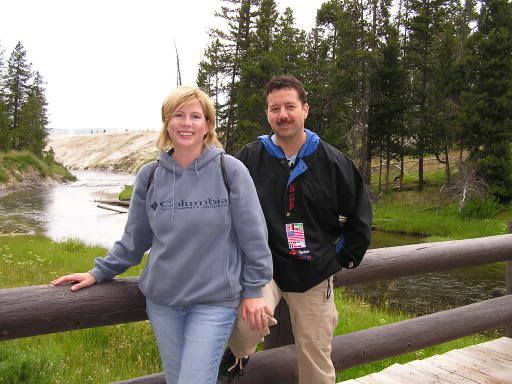
- Here is a picture of John and I at the Alpine Visitor Center, over 12,000 feet elevation, above the tree line. I must say it was a little tough to catch my breath up there.

- Here are some pictures of the way back down. The Trail Ridge Road is the highest paved highway in the U.S. It is a longer route than the Fall River Road, taking about 20 miles to go to about the same place.

- We drove to Denver to sleep in a hotel that night for a quicker start home the next day.
DAY 12 - No pictures from the drive home through Kansas, but I certainly appreciated it more after going through the desert!
Hope you enjoyed these pictures.
